We’re excited to announce that Local Insight has been updated with the latest Ward boundaries.
This update means that all of the core geographies shown on the Local Insight Map – Local Authorities, Electoral Wards, Middle Layer Super Output Areas (MSOA), Lower Layer Super Output Areas (LSOA) – are now the latest available.


The update will not change any of the existing custom areas that you have created. For example, if you have custom areas made from 2024 wards, they will continue to be defined from the same area codes and timepoints you selected at the point of creation. Local Insight stores each area as a pair of an ONS area code and a timepoint, so older custom areas always continue to reference the original definitions. In total, 336 wards have been updated between 2024 and 2025.
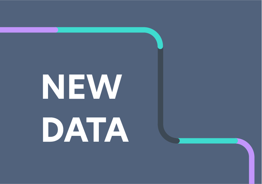
New ward boundaries have been added as additional geography levels rather than replacing previous ones. This means you can hold a 2024 ward and a 2025 ward side by side. If the ONS code is the same across those years, they will show the same data. If the boundary has changed, the ONS will have issued a new code, and this will be treated as a new area with its own figures.
If you previously created ward-based custom areas by importing a geojson, you may still be using older ward codes. We recommend recreating these using the standard areas dropdown so that, where data is published directly at ward level, you see the published figures rather than best-fitted aggregates based on the underlying statistical geographies.
Where ward boundaries have changed since the last census, figures for discontinued wards will differ from the new ones because they represent different geographies. These differences reflect the updated boundaries rather than changes to the underlying methodology.
If you have questions about these changes, our support team is ready to assist you. You can get in touch by emailing: support@ocsi.co.uk
Local Insight subscribers can explore the new update.
Not a subscriber? Book a demo today to find out more.

The newly launched multi-map analysis feature within the Local Insight platform encourages…
More
Brighton & Hove Food Partnership (BHFP) is a citywide charity that works…
More
You don’t need to spend hours making ward profile reports. If you…
More